|
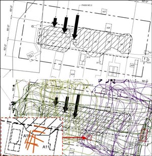 In 2011-12 the YETI robot dragged ground penetrating radar (GPR) over Old Pole to see if any areas required further attention. Two areas were identified in the survey map at right (JL PTC 13)...one was an area in the builders tunnel between buildings 10 and 11 which was dug up and filled in 2012-13. The other was at the far east end of the station, buildings 13 and 21--the balloon inflation building and the met storage/former hydrogen generator building respectively (more information about the survey results and the 2012-13 activities). At this point I'm not sure if this area was the one of concern, as that end of the station was collapsing on its own several years before the explosive action started. But that would seem to have been the likely target. In 2011-12 the YETI robot dragged ground penetrating radar (GPR) over Old Pole to see if any areas required further attention. Two areas were identified in the survey map at right (JL PTC 13)...one was an area in the builders tunnel between buildings 10 and 11 which was dug up and filled in 2012-13. The other was at the far east end of the station, buildings 13 and 21--the balloon inflation building and the met storage/former hydrogen generator building respectively (more information about the survey results and the 2012-13 activities). At this point I'm not sure if this area was the one of concern, as that end of the station was collapsing on its own several years before the explosive action started. But that would seem to have been the likely target.
The South Pole traverse crews carry explosives and are qualified to use them. Particularly during the first traverse of the season, they need to be able to deal with any new crevasse hazards encountered along the route. So...they were called upon to do the deed.
|
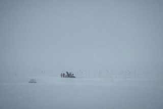
On Monday 2 December the team gave 24 hour notice that they would be blasting at Old Pole. Here they are doing some of the preparation work (SR).
|
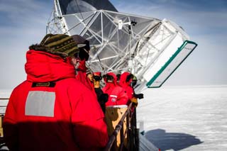
Things were delayed a day, but on the afternoon of 4 December the crowds gathered, this one is on the roof of DSL (SR).
|
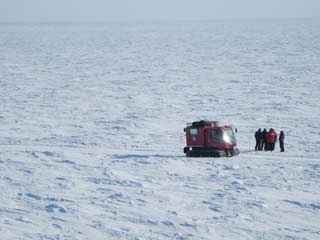
The spectators watched the last minute preparation, and then the countdown (DG). |
 Here's Andrea Dixon getting ready to set off the charge (BC). |
And nothing happened. Another try, and again nothing happened...by then the video camera batteries had died. So there was a bit of rewiring...the plunger was replaced with a push button, which Andrea pushed...
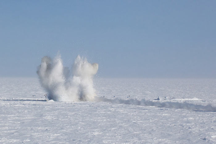
...and there it went. 1200 pounds of dynamite (IR/DG).
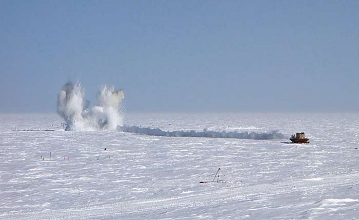
Another view at about the same moment, from a bit further back (RP).
|
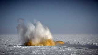
And after the initial cloud of snow, dust from the old station appears--old top hats, building debris, graffiti...(SR). |
 ...and the wind creates a dust stream (DG). |
|
Credits...the map labeled JL PTC 13 is credited to Jim Lever et al of CRREL and Dartmouth, they are from the paper Over-Snow Rovers for Polar Science Campaigns presented at the 2013 Polar Technology Conference. SR is Steffen Richter; DG is Dave Glowacki; RP is Reinhart Piuk; BC/AD is a photo by Bill Coughran shared by Andrea Dixon; IR/DG is a photo by 2014 IceCube w/o Ian Rees also shared by Dave Glowacki.
Meanwhile, there were interim "adjustments" being made at the elevated station doors into the beer can stairs as depicted here.
|


