2007-08 Aerial Photos--October 2007
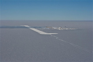
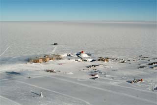
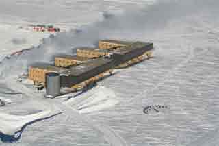
 Late October 2007, time for another round of station aerial photos, so NSF (and you and I) can see what the winter snow driftiness looks like. These were shot by the winterovers from the Twin Otter, they took turns going up several at a time. This introductory shot shows the elevated station in all its, er, siding that's been installed so far (RS/USAP) (photo credits/info are on the last photo page) | |
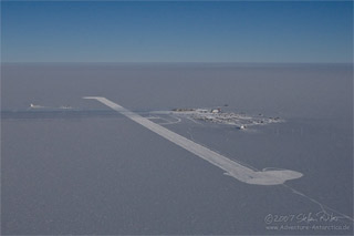
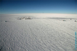
From here it is apparent that the skiway is still where it was last year, complete with crossing beacon. | |
|
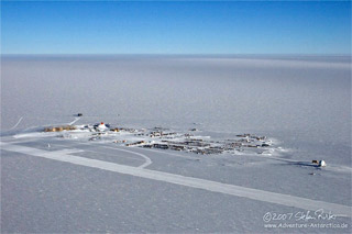
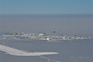
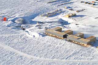
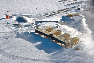
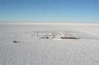
Now let's zoom off to grid north for a couple of views of the station from this rare angle, inside (or at least close to) the clean air sector. Just to add a bit of history here, NSF has been having these photos taken for many years. This includes the 1976-77 season when the station manager (me) got in serious trouble when it was thought I authorized the aircraft to take photos from this sector. (Left photo: JS, right photo: RS/USAP) Now let's swing around behind the dome... | |

