Blue Ice Runways in Antarctica
|
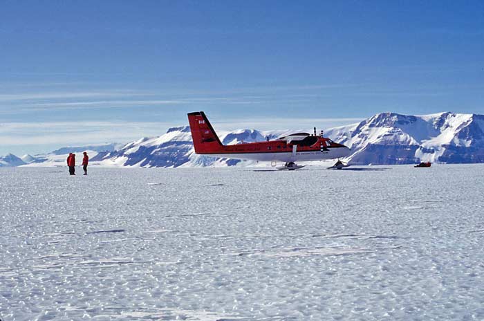
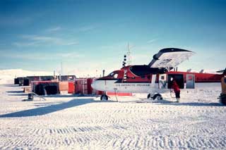
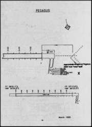
In the late 1980's NSF sponsored a project, with CRREL involvement, to locate "blue ice" runways--areas with no net annual snow accumulation, so that the resultant ice surface is capable of supporting aircraft landings using wheels instead of skis. An impetus to this effort was the the successful development by ANI of their blue ice runway at Patriot Hills; the first wheeled landing had been made at that site by Giles Kershaw with Charles Swithinbank in December 1986. One of NSF's objectives was to locate runway sites close to Pole--this could have simplified the movement of construction materials for the new station, since wheeled aircraft can carry much heavier loads than the ski-equipped LC-130's. Unfortunately for the construction effort, the closest usable runway sites were at Plunket Point and Mount Howe--still far enough away from Pole to require a major land traverse to go the rest of the way. Although traverse routes and vehicles were also studied, the end result was a decision to use ski-equipped LC-130 flights to bring the construction material directly to Pole. However, as a side effort to the search for inland runway sites, the "Pegasus" site near McMurdo was also examined. The 1988-89 field survey used Twin Otters based at Pole...at left is a photo of one of the aircraft parked at Pole and plugged into the summer camp power plant. The CRREL team spent several weeks in the field studying the Plunket Point and Mt. Howe sites, and they were accompanied by several Polies for assistance and camp support. I was fortunate enough to accompany Malcolm Mellor, Charles Swithinbank, and Wayne Tobiasson on a day trip to visit the sites. Below...more of my photos: | |
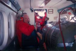
| Survey leader Charles Swithinbank seated in the front of the aircraft cabin, much of which was filled with that giant fuel tank you see. Charles first ventured to the Antarctic on a whaling vessel in 1949 as a glaciologist with the Norwegian-British-Swedish Antarctic Expedition. This venture spent two winters in Queen Maud Land. Charles (who passed away in May 2014) wrote several books about his polar experiences; this particular event is described in An Alien in Antarctica published in 1997. |
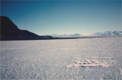
This is Plunket Point, I'm standing on the Mill Glacier, and on the other (northwest) side of the "point" is the Beardmore. The ice I'm standing on would probably need a bit of milling to make it smooth enough for large aircraft, although it was was much smoother where the aircraft had landed. Note that the land you see is the "Antarctic Continent." McMurdo and Palmer Stations are on islands (and Pole is on the icecap), so very few folks get to set foot on the real continent of Antarctica as I did, unless they get to the Dry Valleys, the mountains, or spots like this. |
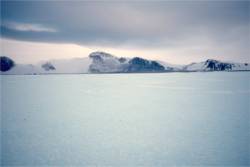
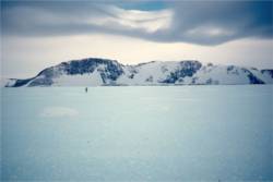
| Mount Howe is perhaps one of the southernmost visible mountain peaks on the continent. | Here is some more of the local scenery. While this site offered two different runway orientations, this topography would make operations on the longer runway under poor weather conditions a bit trickier than some of the other sites. |
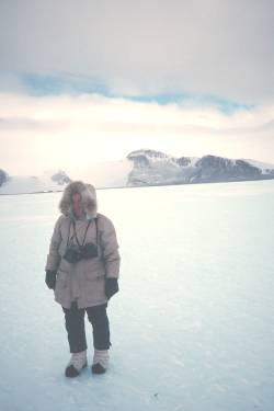
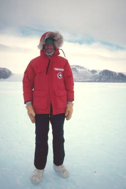
| The late Malcolm Mellor, another member of the survey team. He passed away in August 1991 (obituary from the January 1992 Polar Record). | My hero shot at Mt. Howe...the weather here had turned cloudy and brisk... |
|
Alas, the primary results of this study--the Plunket Point and Mount Howe sites, were never seriously pursued, although an LC-130 wheeled landing at Plunket Point was successful on 23 January 1990. Excerpts from "Airfields on Antarctic Glacier Ice" by Malcolm Mellor and Charles Swithinbank, CRREL 1989:
More detailed information and depiction of the actual Pegasus runway development and early history is available here. | |
