Newer views and satellite stuff...
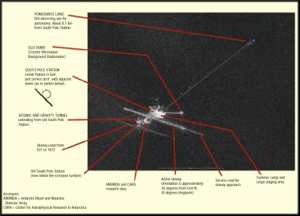
 In September and October of 1997, the Canadian polar-orbiting satellite RADARSAT was turned loose to photograph Antarctica, in conjunction with NASA, NSF, and the Byrd Polar Research Center (Ohio State U). This was one of the first results released by NSF (Antarctic Journal, October 1997). Since the radar can pick up buried structures as well as hardened ice surfaces, the picture clearly shows the new and old stations and skiways and some of the roads more or less traveled by some of us. Here is a much larger (1743x1247, 177k) unlabeled version of the same picture that was released in 1998. More recently NASA Goddard (GFSC) has put together an extensive web site with high resolution images and multimedia presentations from many of the Antarctic images, some you can't touch unless you have broadband access. 
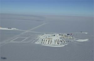
Here is a new look at the Pole landscape from late in the 1999-2000 season (NSF photo courtesy of Katy Jensen). Here you can clearly see the new taxiway pattern which was designed as part of the new elevated station site plan, but until the B3 pod main entrance is done, it makes for a long walk or bus ride (yes, there are rubber-tired vehicles at Pole nowadays, and bus drivers to operate them). Take a good look at the larger views... for more detail. 
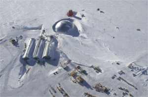
From early season 2000-01 here is a good closeup aerial shot of the station, courtesy Scott Smith. I guess the top is off of the "beer can" (the round structure left of the power plant and garage arches). Here are the larger views...
|