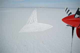
 Starting out at the downwind end of the freshly prepped new section of skiway, to be used in the 2008-09 summer (GG). |
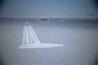 Looking straight up the skiway...somewhere down there is the rest of the buried 917 aircraft, less tail. The center of the future skiway section still has the approach flags for the existing skiway (GG). |
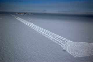 Just past the turnaround, the shadow of the Twin Otter is visible. I've cranked up the contrast on some of these to make things more visible...including the trail from the left to the end of the existing skiway. That is the South Pole Traverse approach route (GG). |
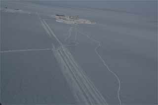 An unedited view from a bit closer to the station (FS). |
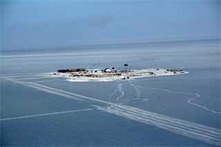 An enhanced shot from the far side of the skiway looking toward the station (FS). |
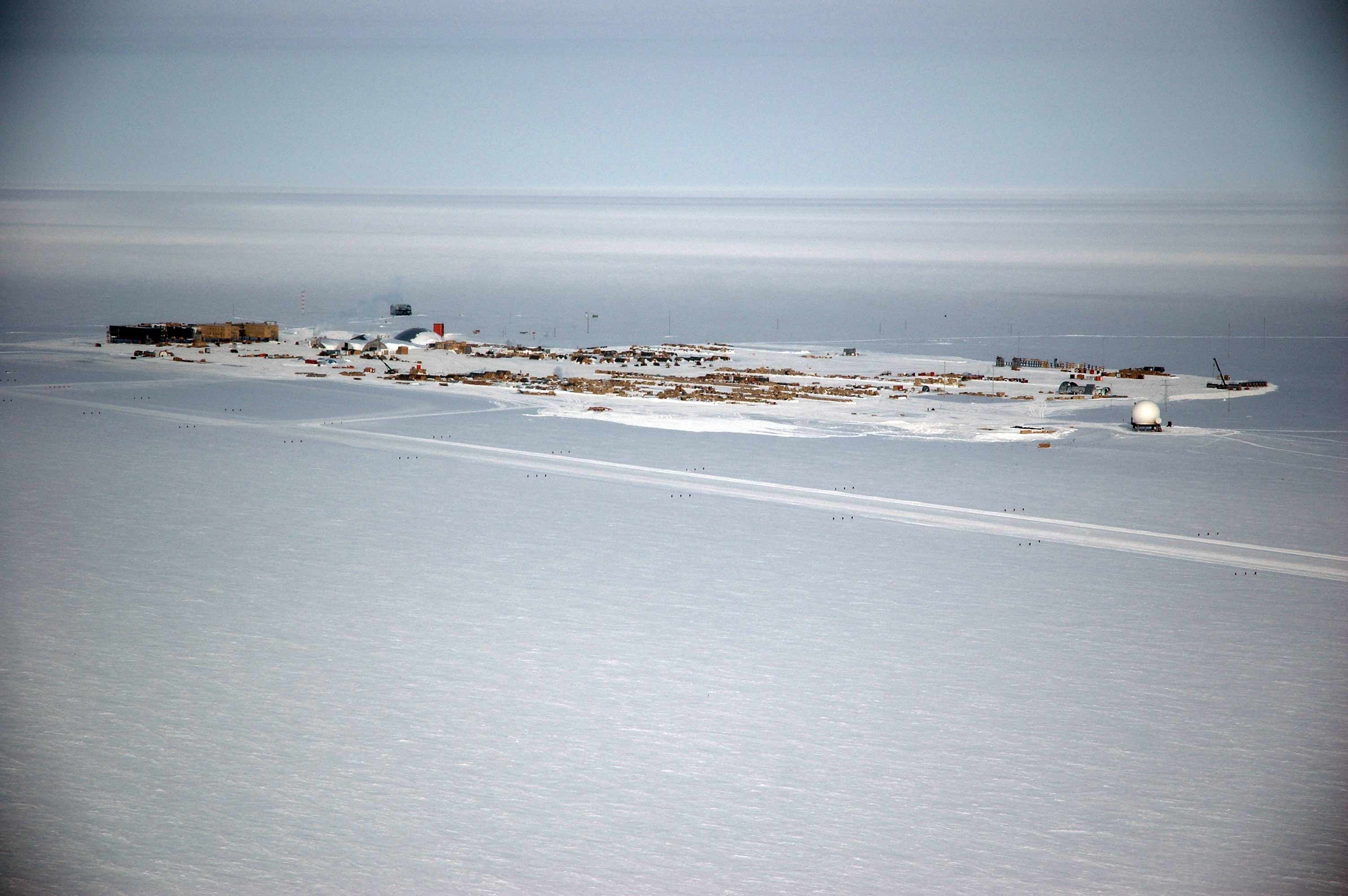 A bit closer to the station (GG) |
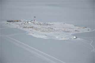 An unedited view from a closer vantage point (GG). |
 Here we are far upwind looking the other way (SJ). |
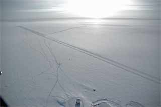 Past the station heading south again, into the sun (GG). |
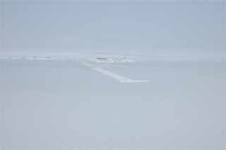 And here we are back way south of the station (GG). |
Now over to the dark sector!
|