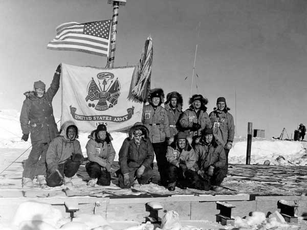
Army Helicopter Crews at Pole
|
From left, standing: Capt. Neal E. Earley, Capt. Frank H. Radspinner (OIC), SP/5 Frank L. MacPherson, S/Sgt Robert J. Anderson, CW02 Joe R. Griffin. Kneeling: SP/5 James C. McCaslin, SP/5 Louis J. Harrison, SP/5 Paul George, CW02 John P. D'Angelo, and 1st Lt. Charles Beaman (link to USAP Photo Library original). | |
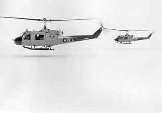
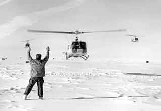
Two of the 3 Army helicopters landing at Pole (link to USAP photo library original). |
Another view of the helicopters landing (link to USAP photo library original). |
|
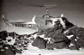
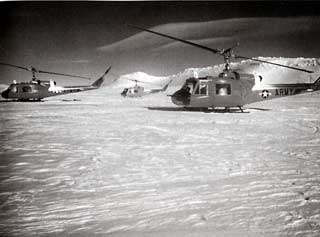
Above, a hero shot of the Army helicopter crews up on the old garage roof, in front of the orange striped bamboo flagpole. From left: kneeling, SP/5 Paul George, 1st Lt. Charles Beaman, Capt. Neal E. Early, CWO John P. D'Angelo, and SP/5 Louis J. Harrison. Standing: SP/5 James C. McCaslin, Captain Frank H. Radspinner, Jr., S/Sgt Robert X. Anderson, CWO Joe R. Griffin, and SP/5 Frank L. MacPherson. Credits: the three South Pole pictures at the top of this page are credited to the U.S. Navy/NSF and are in the USAP Photo Library as indicated. The garage roof photo was shared on the U.S. Army Transportation Museum's Facebook page; it is similar to one that appears in the Bulletin of the U.S. Antarctic Projects Officer,, March 1963 (link to the full issue) The photos taken at Mount Howe and Mount Weaver are from George Doumani's 1999 book The Frigid Mistress, which involves this and other USARP survey activities in detail (Amazon.com link). Other information about this venture and the surveying activities can be found in the Antarctic Journal of November/December 1969 (link to article which also includes that garage roof photo). And here's a page archive from the U.S. Army Transportation Museum at Fort Eustis which describes/depicts the Army's Antarctic activities between 1956 and 1969, including small photos--one of these is another small photo of the group on the Pole garage roof. I visited the museum in 2015 and the only exhibit on the activities is a small photo panel duplicating the photos on the website link. | |

