Scenes of Central California
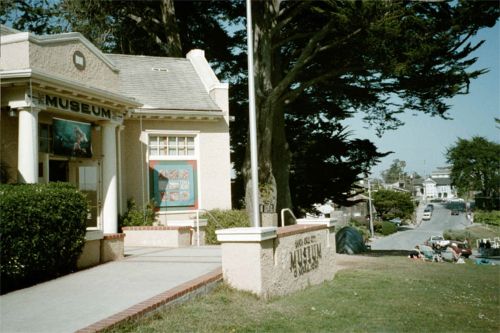
In May I went to an exhibit of Antarctic underwater photographs by Norbert Wu. Friend Rob Robbins was involved and named in the exhibit at this small "City Museum" in Santa Cruz.

The museum is on a bluff overlooking some beaches just south of downtown Santa Cruz. This view is looking southwards across Monterey Bay, with the shadowy haze of the bay curvature faintly visible.
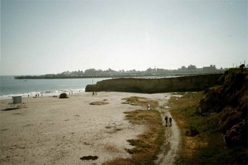
Looking northwards towards the center of Santa Cruz. Many of these beaches are popular with surfers.
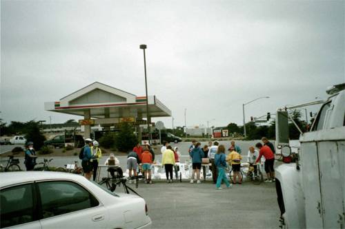
In June I took part in the "Tour de Fort Ord," a bicycle tour (not a race) that started in Marina (town halfway between Moss Landing and Monterey, where we are signing up here). There was a marked route with rest stops, food and water stations etc...
.
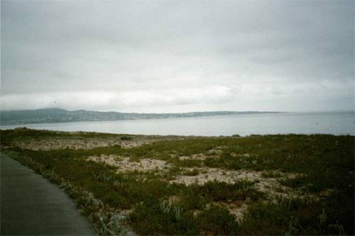
There was a 25 and a 50 mile option. Most of the first 25 miles was on the coastal bike trails that span between Castroville and Monterey. Here is the southern part of the trail looking toward Monterey.
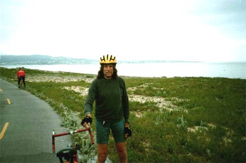
And here is my hero shot at the southernmost point on the coast trail, with the city of Monterey in the background.
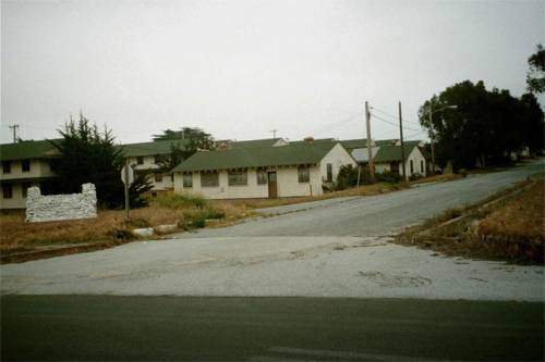 The 25 mile option was mostly flat, after turning around where the previous picture was taken, the trail entered the coastal portion of the former Fort Ord, formerly a large Army training base for infantry and tanks. It was closed about 1994, and portions of it have been returned to civilian use, including CSUMB (Cal State Monterey Bay). The 50 mile option headed up hills into the main portion of the base, which is on a ridge between the coast and the Salinas Valley. There are many abandoned barracks and warehouses such as these, and thousands of acres of land closed to the public because of unexploded ordnance. Nothing seems to be happening, because of the $$ required to do environmental impact statements, much less clear the ordnance from the heavily vegetated areas.
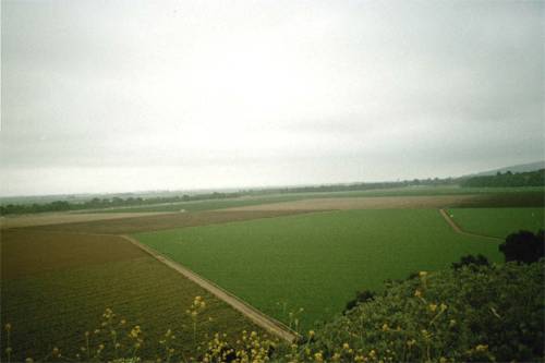
The "high point" of the ride, looking east over the Salinas Valley, "Salad Bowl of the World" (!) Much of the former base is known as the "Fort Ord Public Lands" as the government goes through the interminable process of getting rid of it. The roads and trails which pass through the boarded-up barracks areas and fenced-off fields are open to the public, although many of them are off-limits to motor vehicles. The mapped route was very well done and quite enjoyable...with some interesting folks to chat with along the way.
.
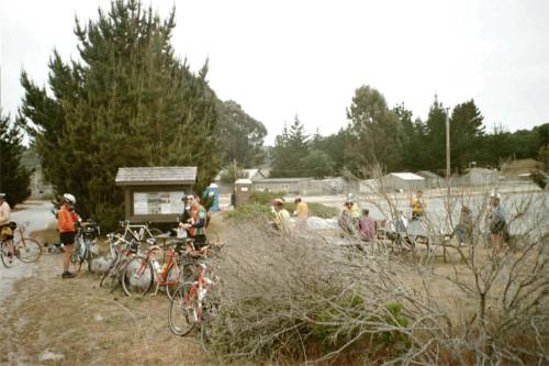
Rest stop, with portapotties, granola, Gatorade, and water, in the midst of the Fort Ord hills.
More California stuff | Back to index