Historic Marietta

Just north of the Ohio River landing, I'm looking up Second Street, one of the main downtown streets. The tallest building on the right side used to be the First National Bank in the old days. There are lots and lots of brick streets and historical monuments in this town, the oldest settlement in the Northwest Territory. At the entrance to town is that sign "Founded 1788." Another common custom here (and in Ironton as well) is that many folks have candles (electric) in one or more house windows. The downtown district is not doing all that badly, and one of the bridges across the Muskingum River (no pictures) is newly rebuilt.
Looking the other way from where the previous picture was taken, upstream on the Ohio River, this is the local bridge to the village of Williamstown, WV. In the distance is the I-77 bridge. I stayed at a motel at the I-77 exit next to the bridge, for my first couple of weeks working on the power plant in Beverly, before I moved to Waterford. My morning runs usually included some of the bridges you see in these pictures.
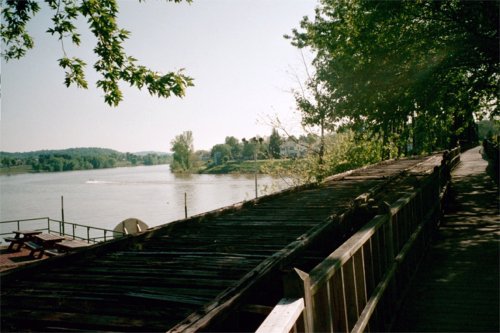
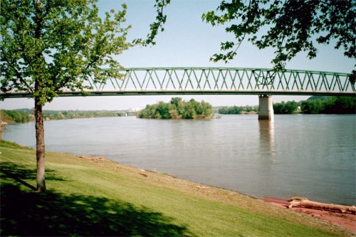
The Harmar Bridge, formerly a railroad bridge but still with a pedestrian walk, crosses the Muskingum just north of its mouth into the Ohio. A "watershed" year in Marietta (and Ironton) history is 1913 when massive flooding destroyed all of the bridges and much of the city. Here I'm looking west from the downtown Marietta side towards the historic district of Harmar, formerly a separate town.
Along the Muskingum and Ohio Rivers | Back to index