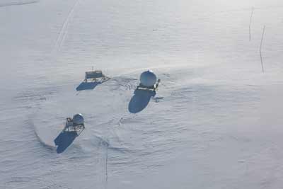
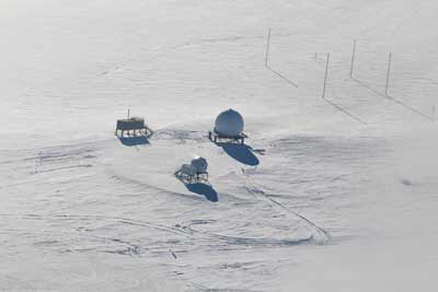
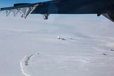
 Swinging over the fuel tanks at the End of the World, with the comms radomes and RF building in the background. |
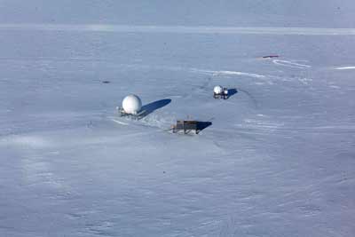 A closer look at the satcom area. |
|
The large dome is what used to be known as the South Pole MARISAT/GOES terminal (SPMGT) back when those satellites were still around--in 2013-14 it was being used for SKYNET. The smaller dome is the SPTR2 antenna (USAP information page), and between them in the foreground is the RF building. The buried structure in the upper left is the meteor radar shack, which was last used in 2011-12 Scott Palo's University of Colorado project.
|
|
|
Some closer looks at the communications facilities. |
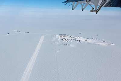 Swinging south around the downwind end of the skiway, headed for the dark sector. |
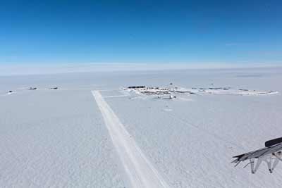 At a bit lower altitude. To the right of the skiway is the official "route" the for South Pole traverse, as well as for nongovernmental tourists.. |
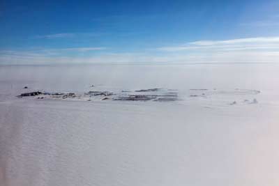 Heading toward the dark sector along the west site of the skiway, here's a somewhat hazy view of the station. |
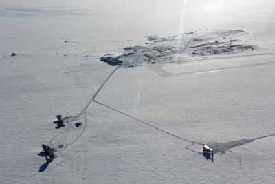 This view is looking east from the west side of the dark sector. Clockwise from right--the IceCube lab (ICL), DSL with the South Pole Telescope and BICEP3, and MAPO with the QUAD/DASI telescope. The trail to SPRESSO is in the background, angling off to the upper right. |
|
Next...some closer looks at the dark sector. |


